


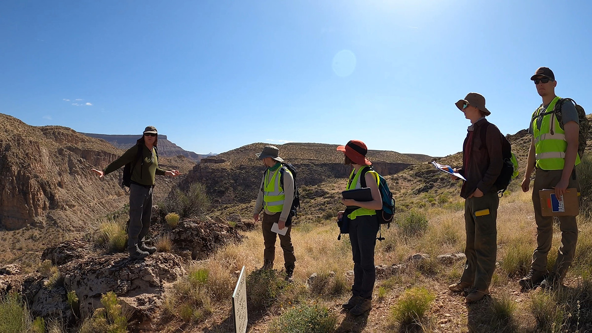
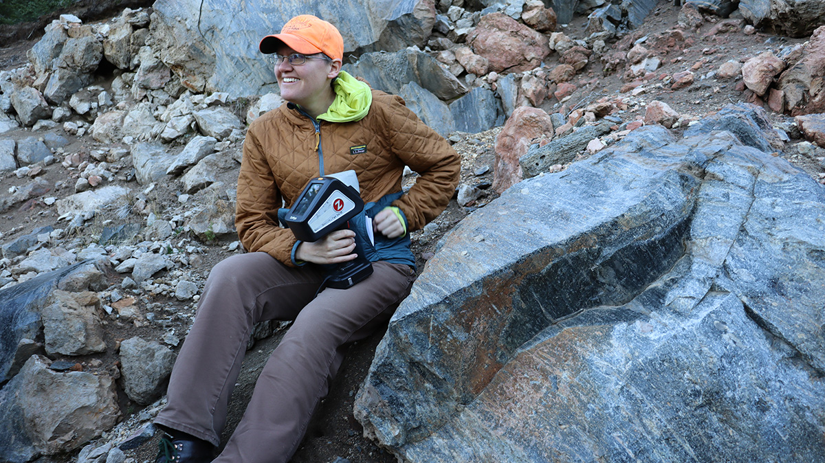
Rock mapping
Chipping away at fundamentals in field school
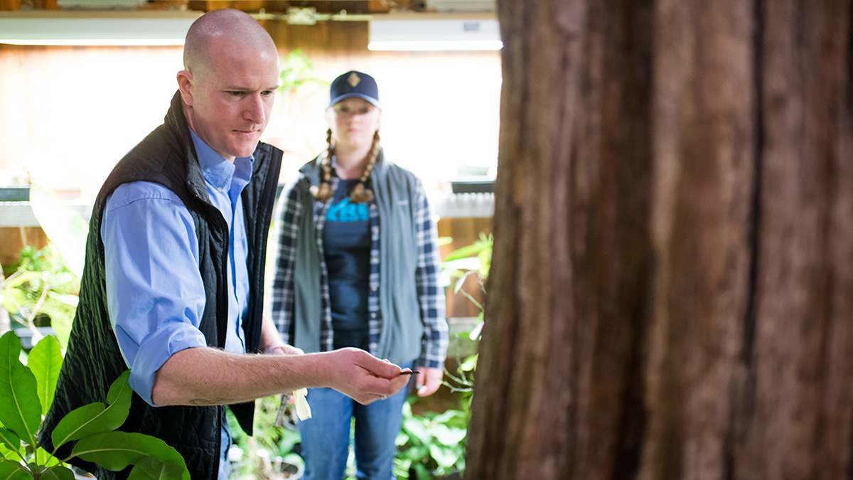
Solving mysteries with tree rings
"The Vandal Theory" interviews Grant Harley
Climate Change and Solutions Degree
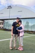
Mars to Minecraft
"The Vandal Theory" Interviews Erika Rader
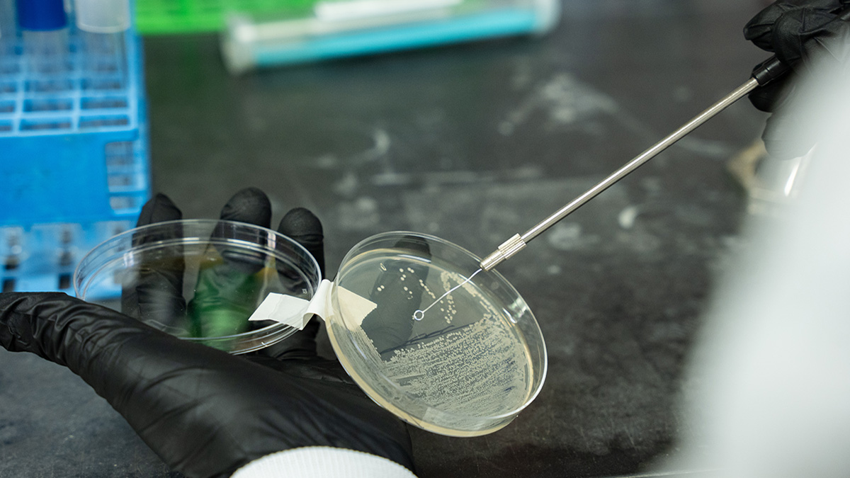
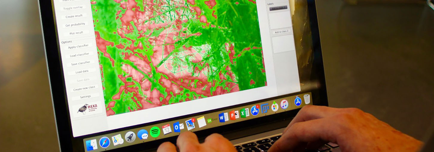
Sustainable Science Innovations
U of I Leads Systemic Sustainability Research Efforts
A Delicate Balance
Exploring Water and Energy Use in Idaho
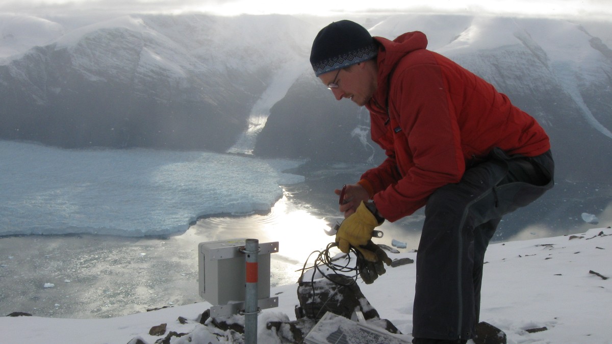
Melting, Moving Glaciers
"The Vandal Theory" Interviews Tim Bartholomaus
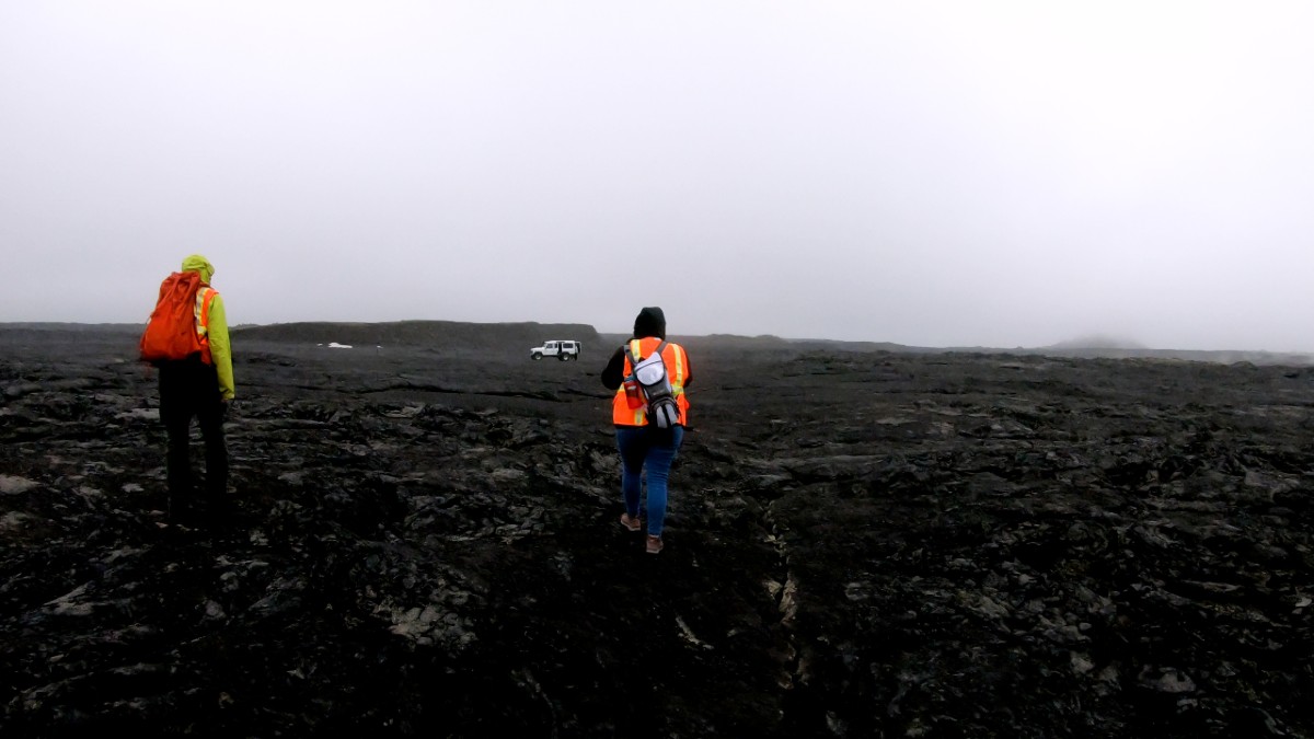
Window to Mars
Studying Martian Climate in Iceland

Rock Solid Learning
Geology Students Learn Hands-On from Hecla Mining Company Professionals
Department of Earth and Spatial Sciences
Start Your Adventure Today
Curiosity drives you — it drives science. Study with faculty scientists and students who are on the leading edges of discovery about our planet, from the depths of the ocean and remote mountain peaks to the surface and viability of Mars. From state-of-the-art labs and productive industry partnerships to the communities we serve with our research. For more than 100 years, we have been training leaders in geology and Earth Science in our high-quality and affordable programs:
- B.S. Climate Change and Solutions Act Now and Be a Part of the Solution in this new major starting Fall 2023. You will learn the science of climate change but discover solutions and tradeoffs to help communities and landscapes obtain a sustainable future.
- B.S. Geology is in the top 100 of most popular and most focused geology majors in the nation. You will learn geology through hands-on activities in the field and gain key networks with industry.
- B.S. Geographic Information Systems helps train a modern workforce in one of the most rapidly growing careers in the nation. You will learn the science of space and place and become proficient in the next generation of spatial analysis tools.
- B.S. Earth and Spatial Sciences builds on our Geography major that is ranked 3rd in the nation for Academic Excellence and Affordability by Great Value Colleges. This degree focuses on the intersection of geography and geology will students learning key interdisciplinary topics.
Turner Glacier
How do you “listen” to water under a glacier? Chris Miele used seismic tools to understand water flow under Alaska’s Turner Glacier, which may provide insights on how climate change will influence the world’s glaciers.
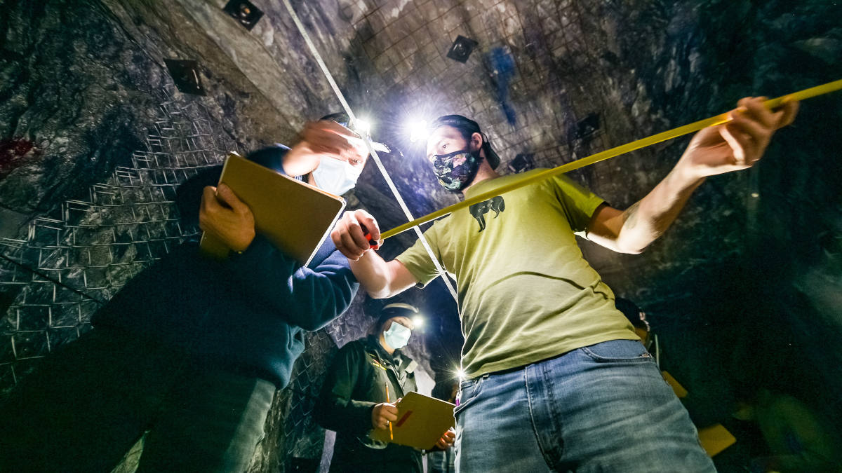
Core Logging Workshop
Vandals got their hands on geologic core samples in a workshop hosted by professionals from Hecla Mining Company.

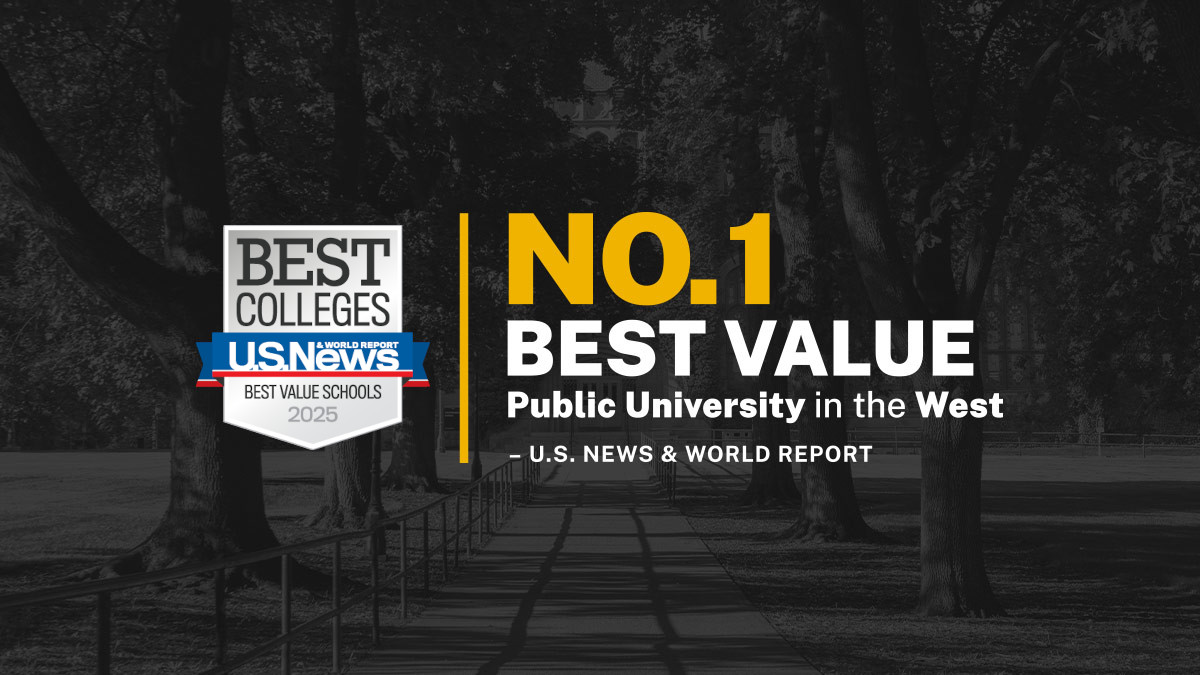
Best Value, Best College
The University of Idaho is ranked the Best Value Public University in the Western United States and recognized as one of the top 8% of Best Colleges in the Nation by the Princeton Review.
The BS Geology degree prepares students for the Fundamentals of Geology (FG) exam administered by the National Association of State Boards of Geology (ASBOG). Our graduates are well prepared to pass the Foreign Service Office Test and go on to represent the United States abroad.

Tomorrow's Earth Sciences Education
Welcome to the Department of Earth and Spatial Sciences at the University of Idaho.
We share your passion for the outdoors, the changing climate, and sustaining our nation’s critical water and earth resources. Our graduates are tomorrow’s leaders and our reputation as an outstanding place to study has been earned over the past 100 years. Our students and faculty research and learn together, in programs that reach across the country and around the world.
When you come to the Department of Earth and Spatial Sciences, you will find a focus on hands-on science education. Moscow is conveniently located near Idaho’s mountains and rivers, where you'll learn by doing. We work with regional industry to provide summer internship opportunities and professional connections to help you establish your career. Courses provide you experience in key marketable skills — using geographic information systems (GIS) and software like R. Field trips to fossil beds and lava tubes put your learning to the test and you can participate in research with our faculty, both in the lab and in the field. From day one, you'll "Do Science."
GeoClub organizes trips to explore the region — for education as much as recreation. Faculty are recognized nationally and internationally for both teaching and research.
When our students graduate, they go to work. They find jobs in their field of study and are backed by science-based degrees.
Want to learn more? Please email, call or arrange a visit.
Alistair Smith
Chair and Professor
Phone: 208-885-1009
Email Me: alistair@uidaho.edu
Alistair M.S. Smith
Professor and Department Chair

McClure 201
208-885-1009
Research Interests: Combustion physics, Wildland fire science, Lidar, Forest biometrics