


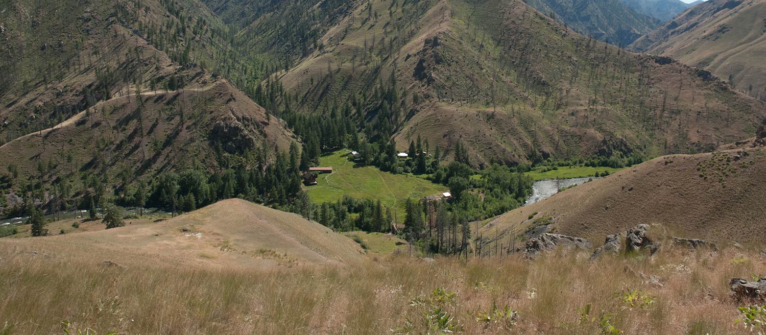
Taylor Wilderness Research Station
Embedded within the heart of the Frank Church - River of No Return Wilderness is a one-of-a-kind venue for scientific discovery. This facility allows the opportunity to explore social, political and economic implications on ecological processes in a wilderness context. Surrounded by 2.39 million acres of wilderness in central Idaho, the station provides outstanding access, facilities and logistical support for research on natural environments.
The station’s remote location provides an abundance of unique research opportunities for study. Projects undertaken by faculty and students include the following:
- Vegetation and rangeland monitoring
- Plant identification
- Wildlife surveys
- Stream ecology and monitoring
- Wildfire impact
- Cultural and anthropological investigations
- Economic impacts in wilderness usage
Owned by the University of Idaho’s College of Natural Resources, Taylor Wilderness Research Station spans 65 acres along Big Creek, the largest tributary of the Middle Fork of the Salmon River. Taylor is located at approximately 45.1028° latitude and -114.8517° longitude. Our elevation at the head of the airstrip is 3853’. Taylor's airstrip is privately owned. Permission to land must be obtained from the station managers prior to arrival and require an educational or research purpose.