More than a map.
How do changes in the physical landscape affect society, the environment, political and economic systems, and other important issues facing our world?
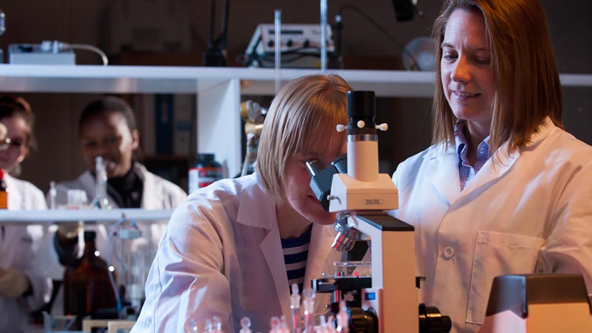
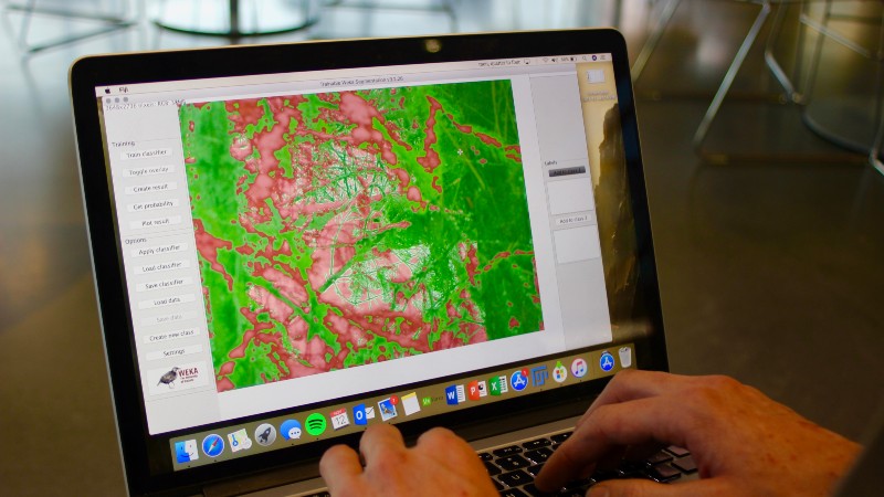
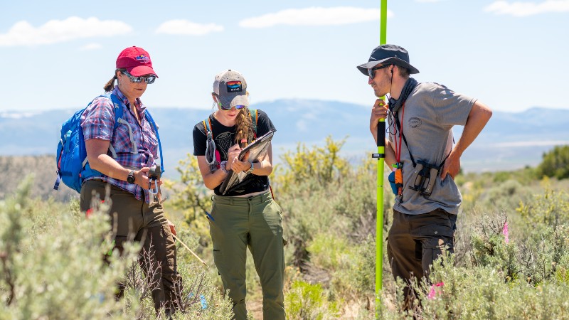
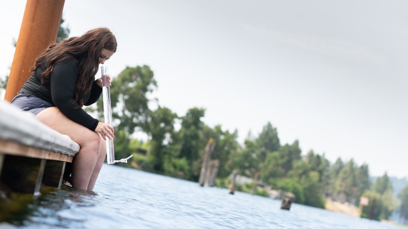
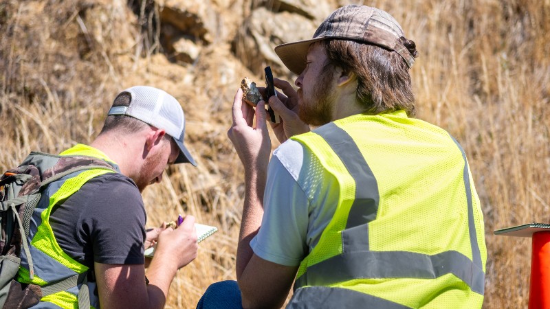
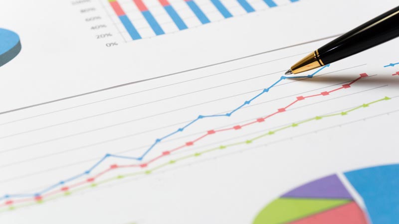
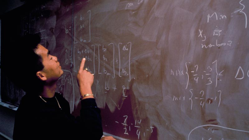
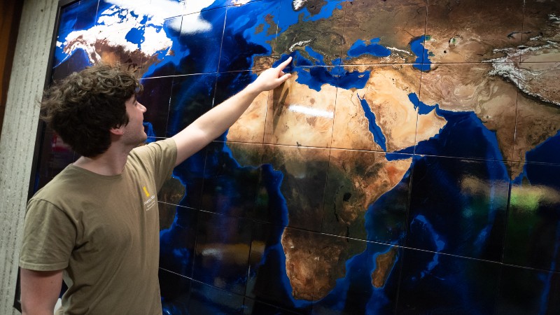
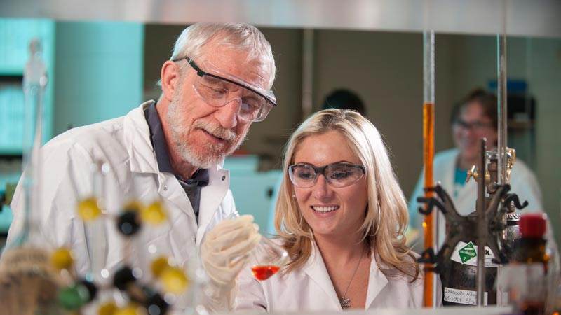
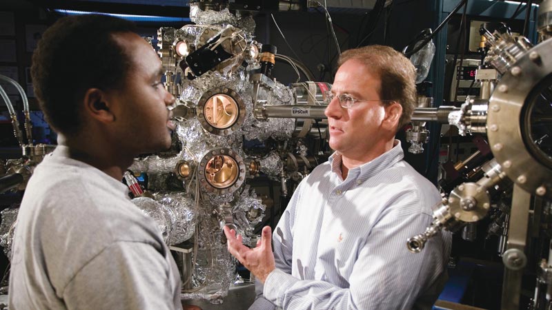
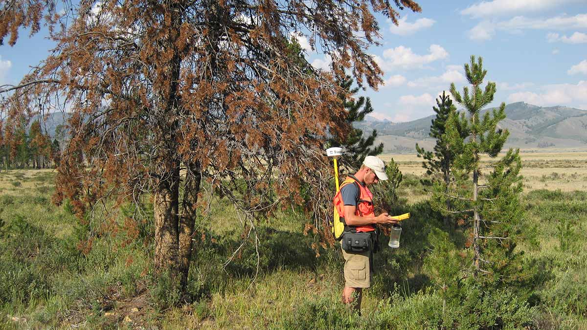
As a geography student, you will gain knowledge in digital mapping, statistics and field methods to help answer that question. You will study human-environment interactions and learn geospatial technologies like Geographical/Geographic Information Systems (GIS), cartography, remote sensing and computational analysis.
Graduates of this program are prepared to apply their geographic knowledge and technical skills to address problems related to global climate change, regional planning and development, natural resources and much more.
This degree could be a good fit if you:
- Have a genuine curiosity about the world
- Enjoy both the hard sciences and social sciences
- Like to learn about different places and cultures
- Like working with technology
- Are a problem solver and analytical thinker
With this degree, you could become a/an:
- Geographic information systems (GIS) analyst
- Urban planner
- Remote sensing analyst
- Community planner
- Transportation planner
- Site selection analyst
- Land and water manager
- Hazard mitigation analyst
- Climate adaptation specialist
- Professor
- Teacher
- Survey or mapping technician
- Cartographer