A map to the future.
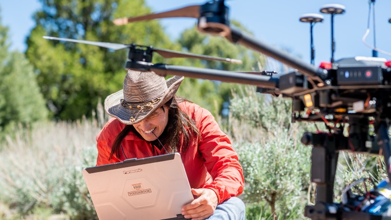
In a world confronted by the impact of humans on the physical earth, the need for experts that can address that impact is high. With a wide array of application areas using spatial technologies, datasets, and models that will inform environmental decisions, assess climate change solutions, monitor natural disasters and more, you will be a part of finding the answers our nation and world need.
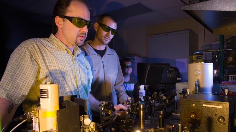
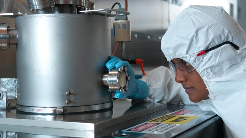
This degree has a core of advanced GIS courses with seven different options for specialization, including remote sensing, natural hazards and emergency planning, geotechnician and more. Thesis and non-thesis options allow working professionals to pursue this degree while continuing to work, with access to advanced research laboratories equipped for study in an array of areas.
This degree could be a good fit if you:
- Want to advance your career in environmental science
- Need to keep pace with technological advances in the field
- Like to choose your academic pace
- Enjoy low student-to-teacher ratio
With this degree, you can become a/an:
- Risk assessment specialist
- Disaster monitoring specialist
- Information security analysts
- Data analyst
- Cartographer
- Digital surveying
- Geointelligence analyst
- Land Management
- Environmental planner
- Environmental consultant
- Spatial Analyst
Water Resources, M.S.